By Chloe O’Malley, news correspondent
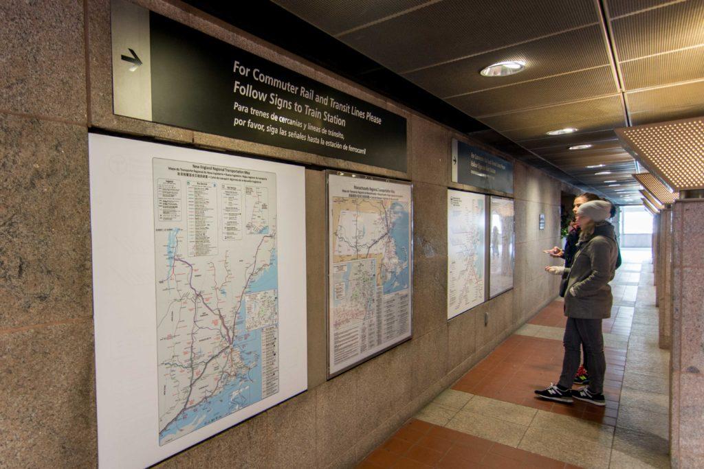
An updated map illustrating the public transportation system on an unprecedented scale has been released by the Massachusetts Department of Transportation (MassDOT) as of Feb. 27. The new map covers the New England region and New York, and includes routes by bus, ferry and train.
The map is the first of its kind in the US. The most obvious transformation from past maps is the jump in size. Whereas the former maps showed just a portion of one state, the new ones show the entirety of multiple states. Another major modification is that five languages – English, Spanish, French, Chinese and Portuguese – are compiled into a single document.
“It’s much bigger,” Kevin Green, a vendor at the MBTA’s South Station, said.
Displayed on the right wall from the entrance of the bus terminal at South Station, the regional map is also available in printed copy. Meanwhile, web versions are in development, MassDOT Deputy Press Secretary Amanda Richard confirmed in an email to The News. However, before becoming accessible, federal standards must be met to ensure that they will be perceivable, operable and easy to understand.
“Our current maps do not do that, so we were not able to post them,” Richard said.
It took collaboration across seven states (Connecticut, Maine, New Hampshire, New York, Rhode Island, Vermont and Massachusetts) to produce this comprehensive new tool for navigating the regional transportation system. While it’s still too soon to note significant impacts, the effectiveness of this new resource will be put to the test as distribution widens across such a large area.
“Absolutely,” Stephen Squibb, general manager of the South Station bus terminal, said when asked if the new maps would make a difference.
Squibb recalled receiving notice of the version update a few months before the release and is among the first to oversee its distribution.
“Some of the regular commuters have already noticed the change,” he said.
Photo by Joe Thomas


